Yun Meng Shan is always a very nice path to stroll up and around on a weekend. We did it before, and you may download the GPS file here. Last time the weather was rainy and foggy and the whole landscape was in the mood of an old Chinese painting. This time it was sunny and clear and the same path was in a brilliant light. It takes you about two and a half hours up to the peak (1410 meters, elevation gain 850 meters) and about the same time back.
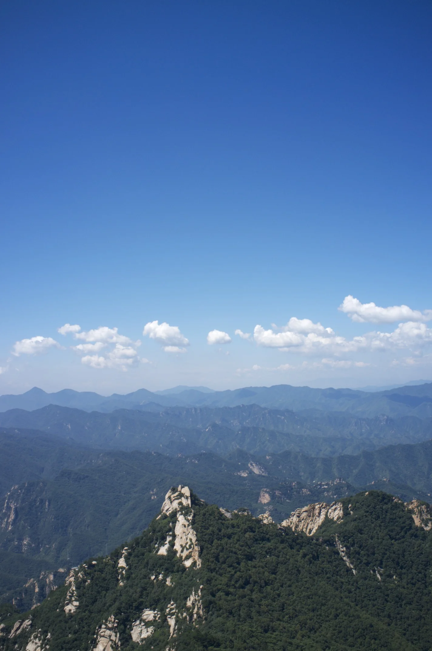
View form the Yun Meng Shan Peak over the mountains North of Beijing.
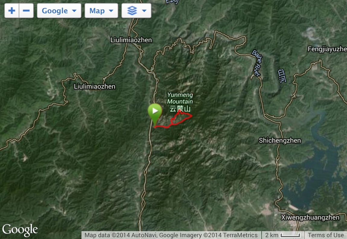
Satellite View on the Mountains around Yun Meng Shan.