Hiking around Beijing

Chuandixia Village

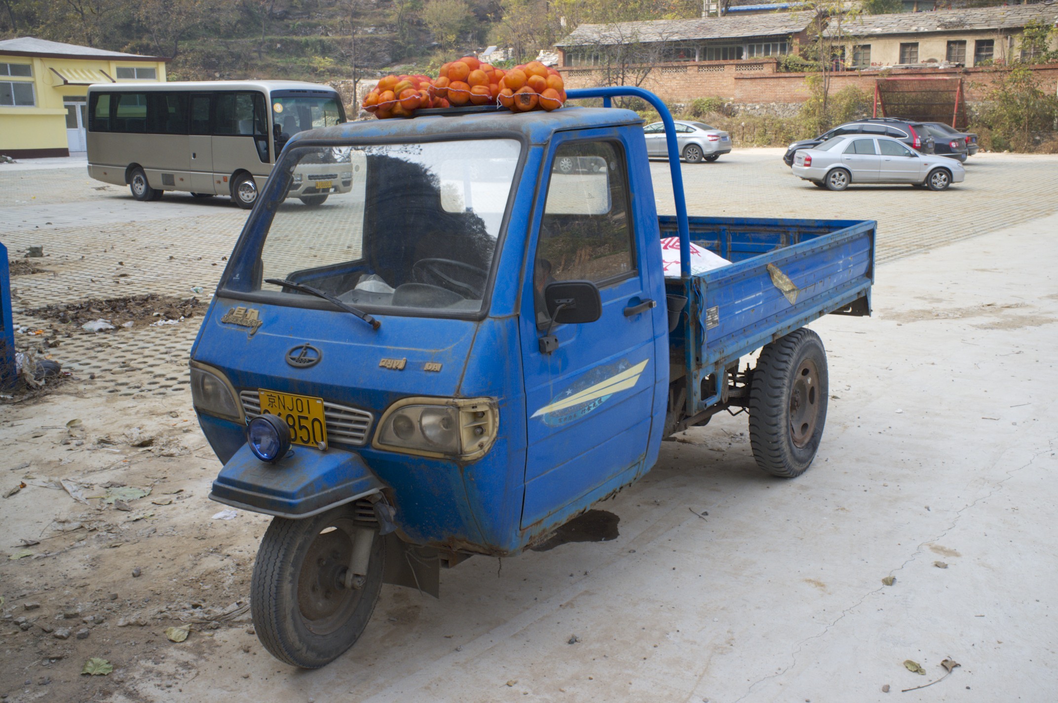
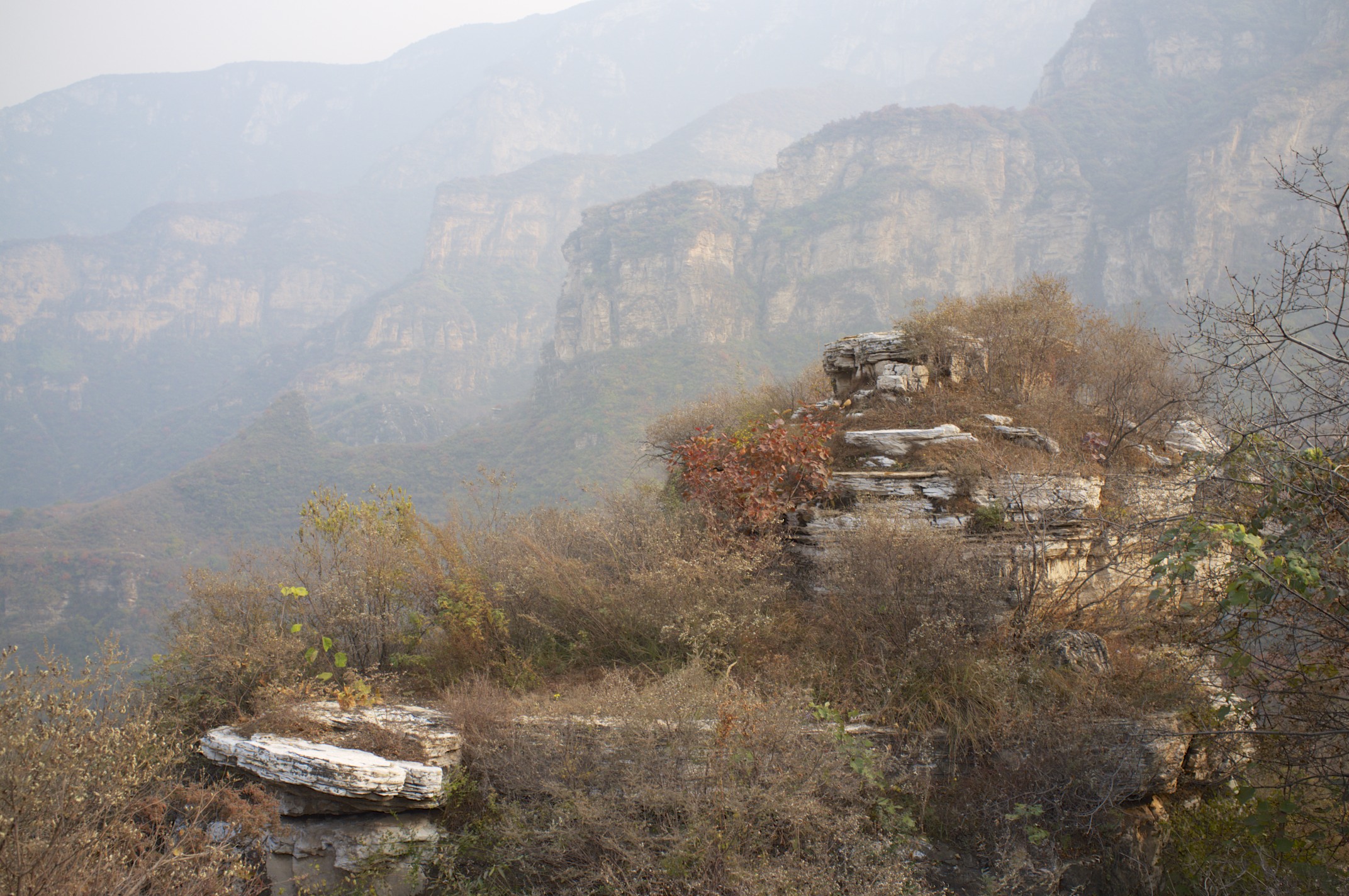
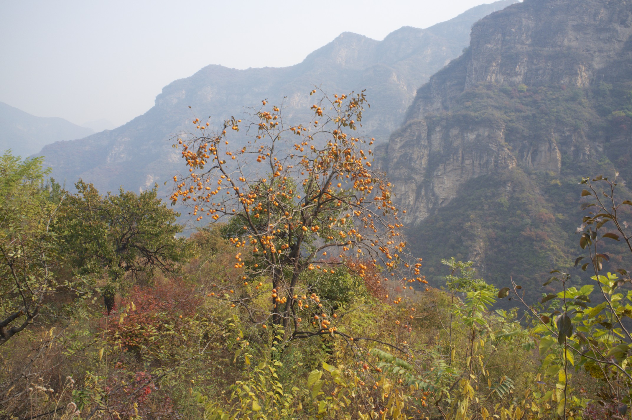
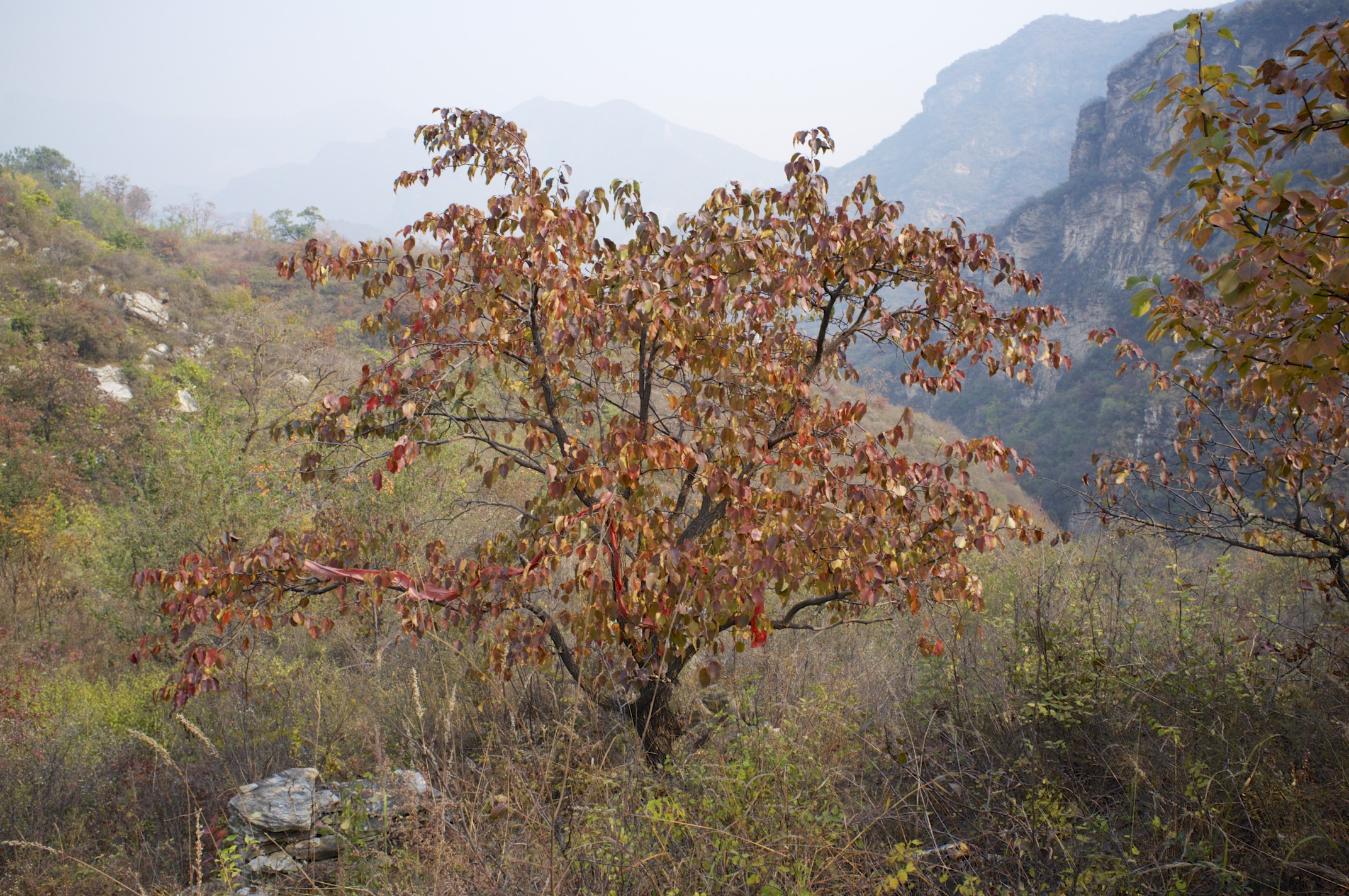
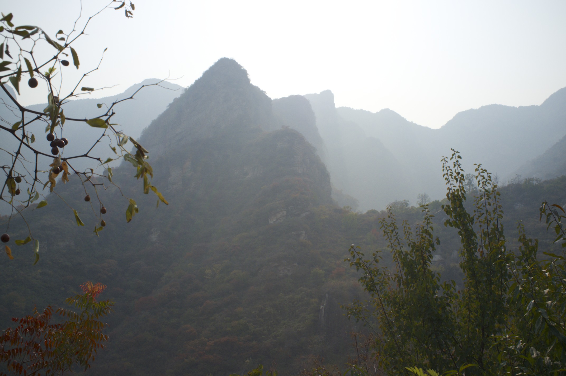
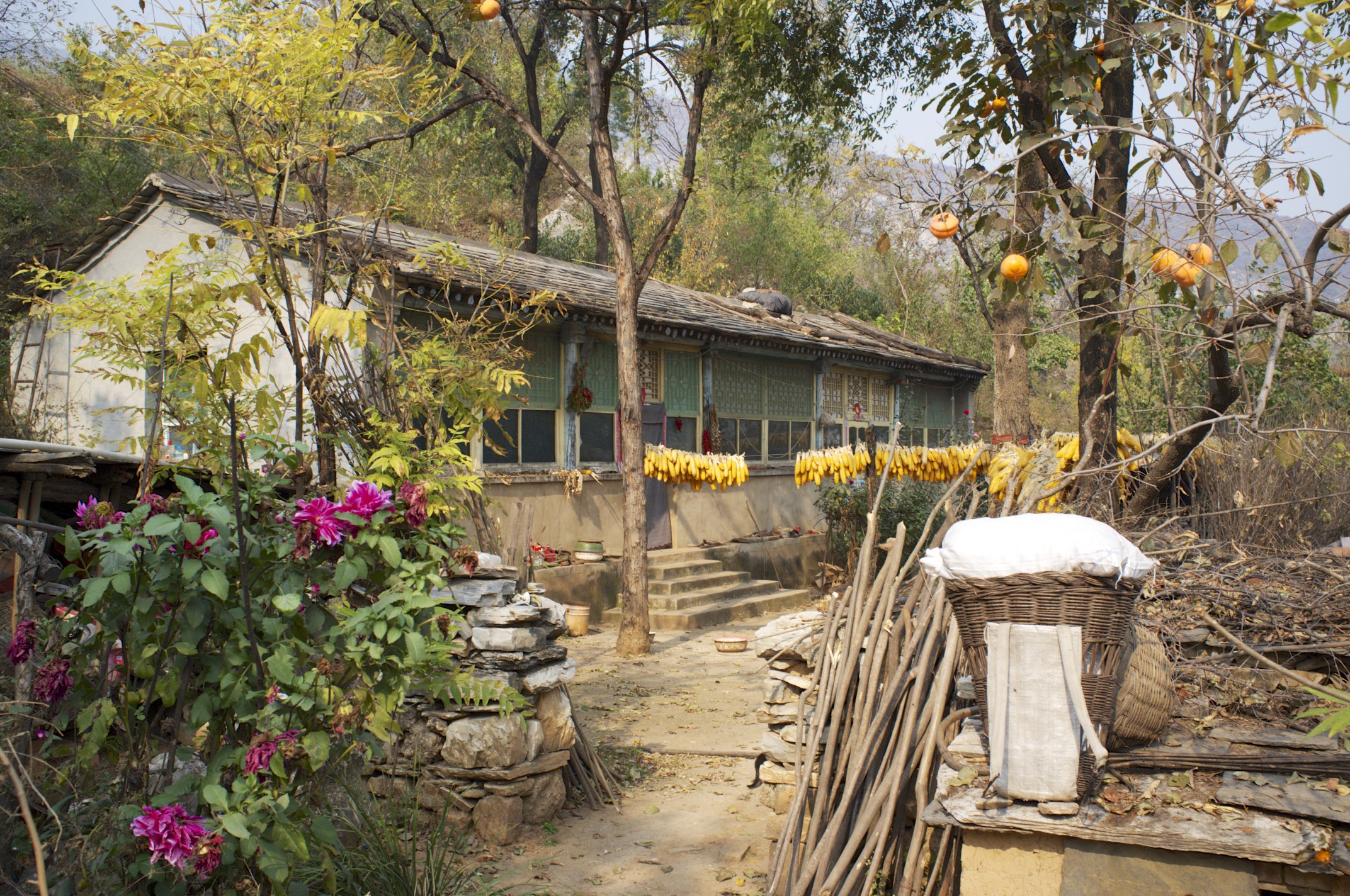
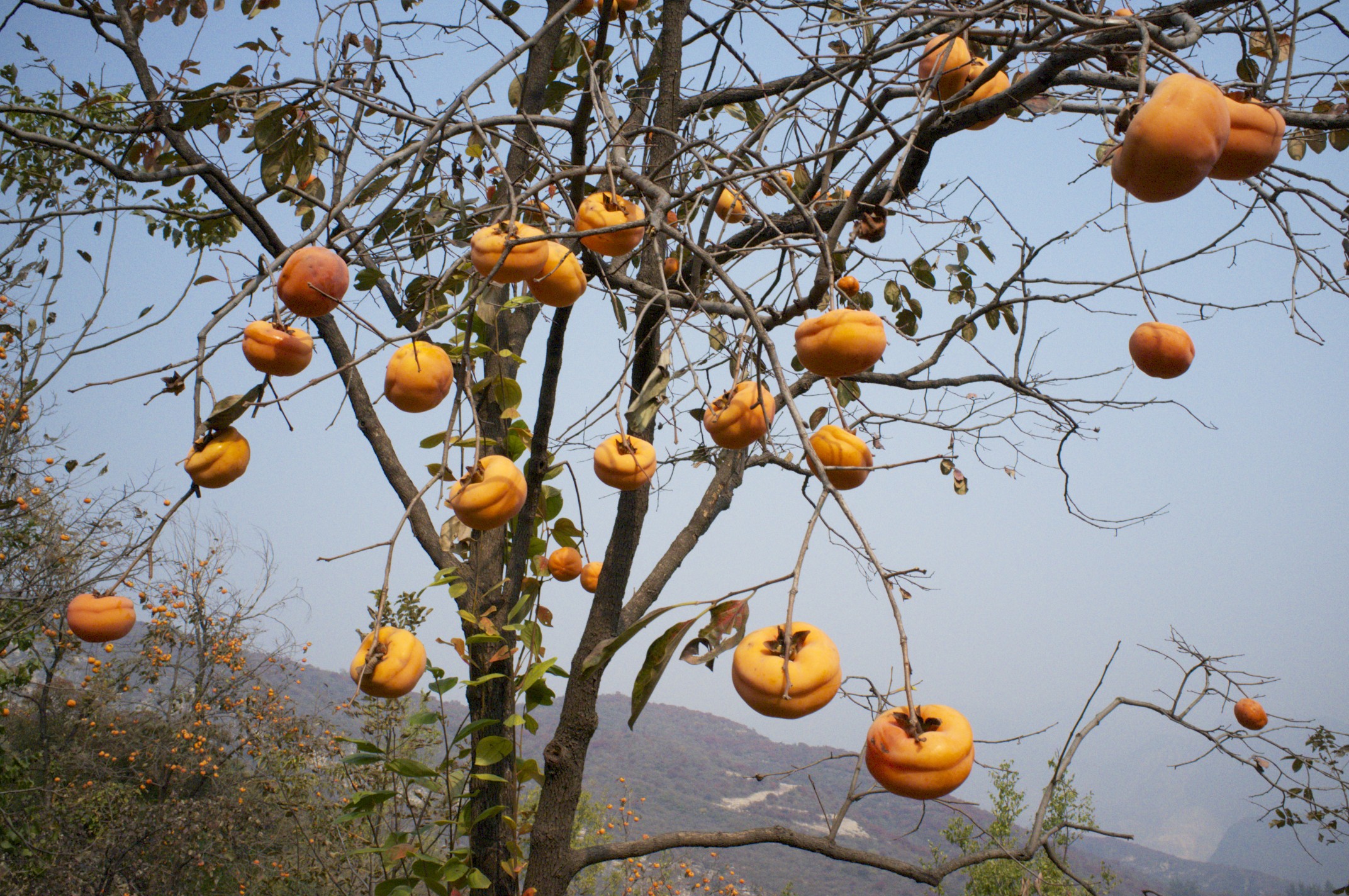
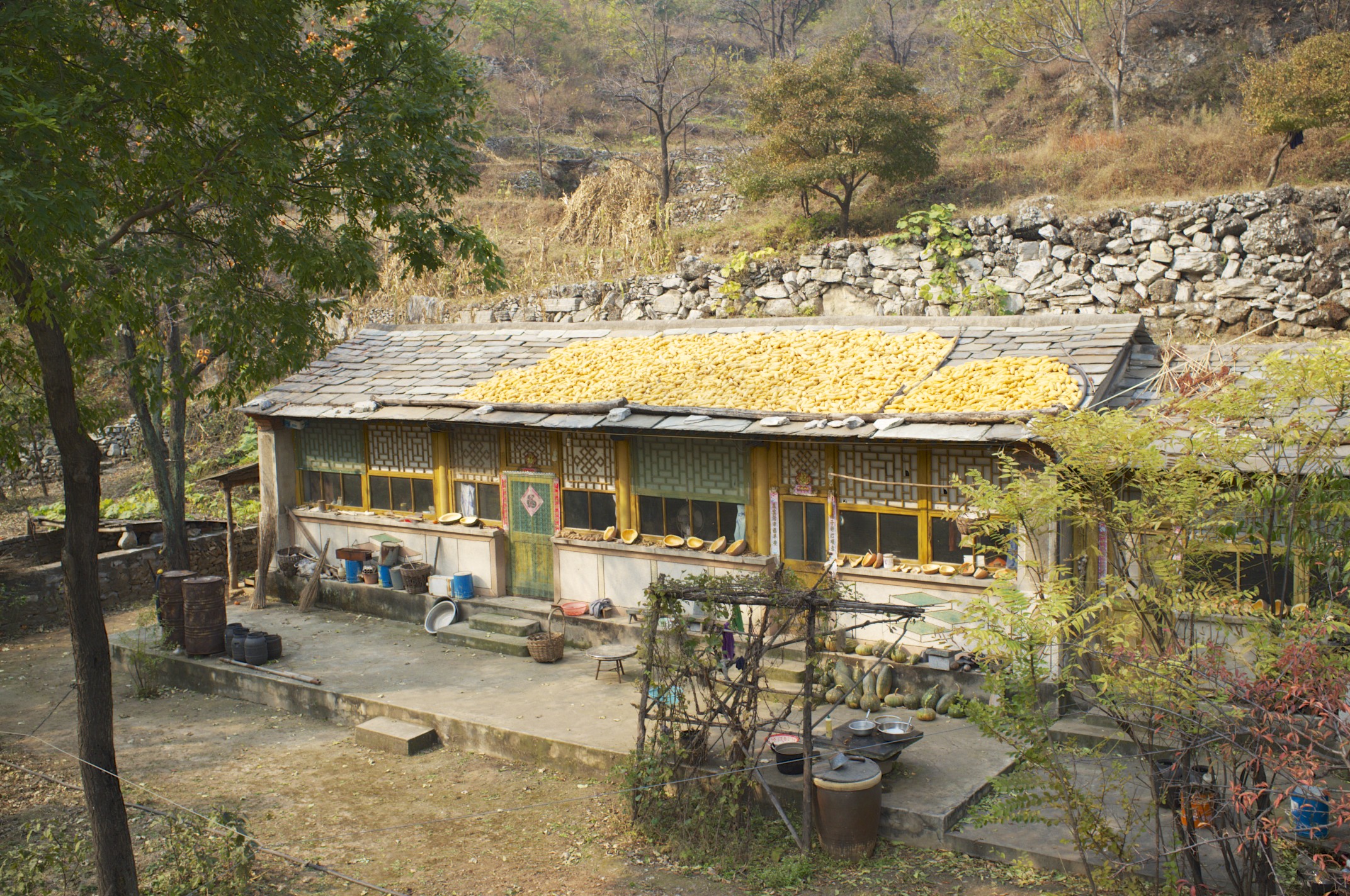
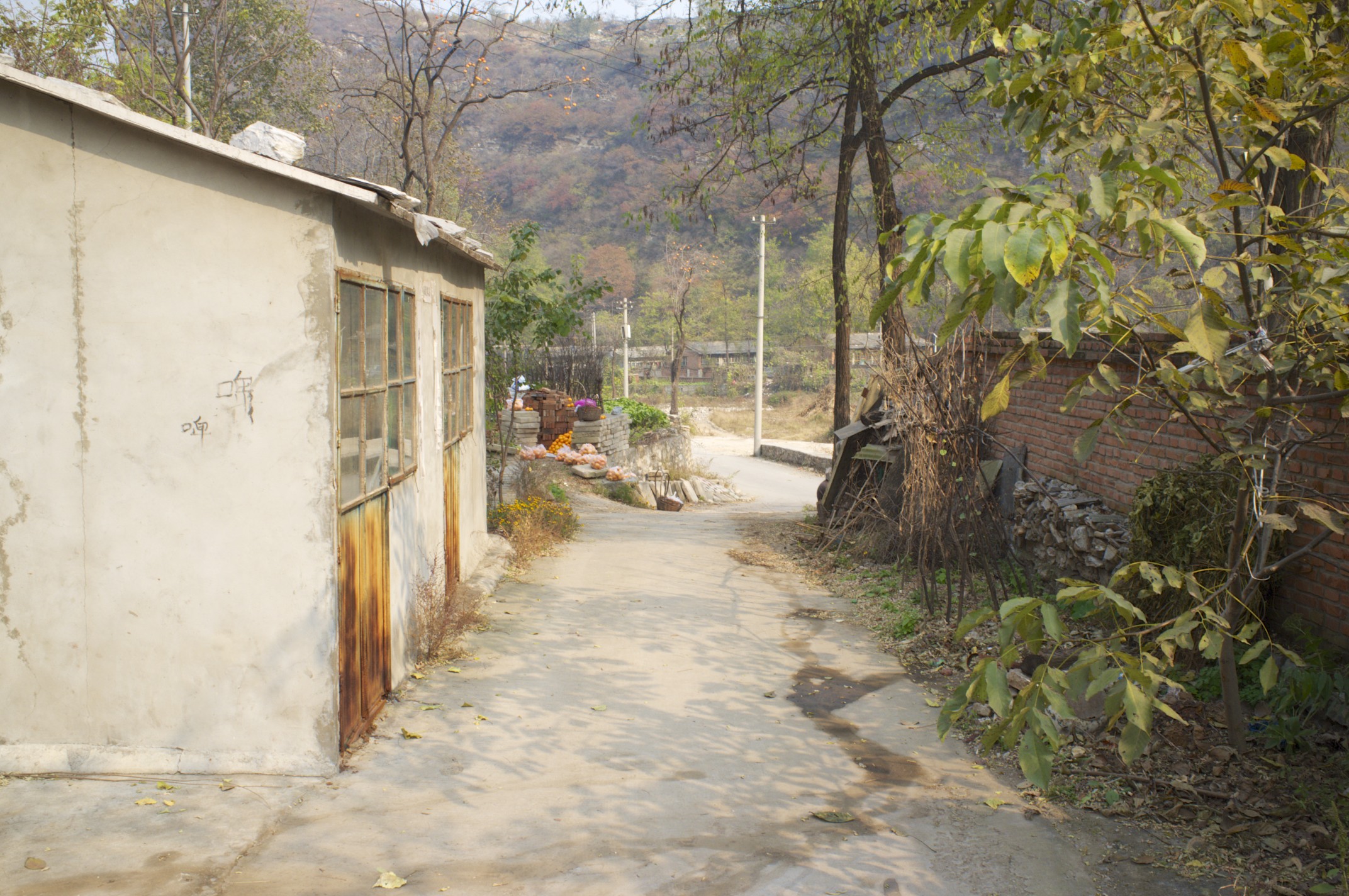
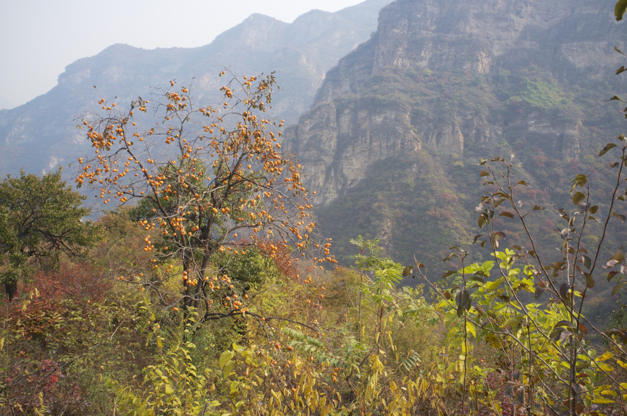
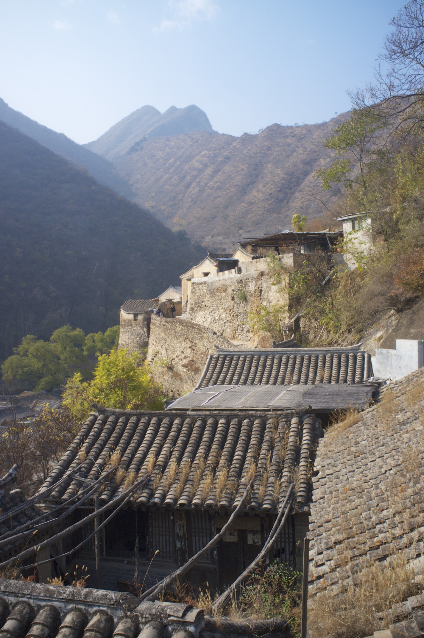
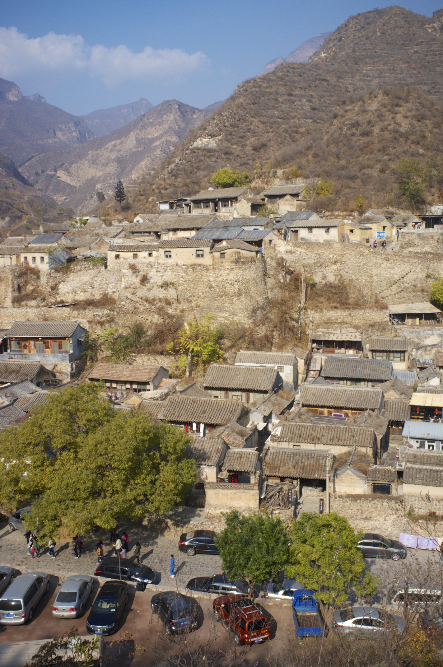
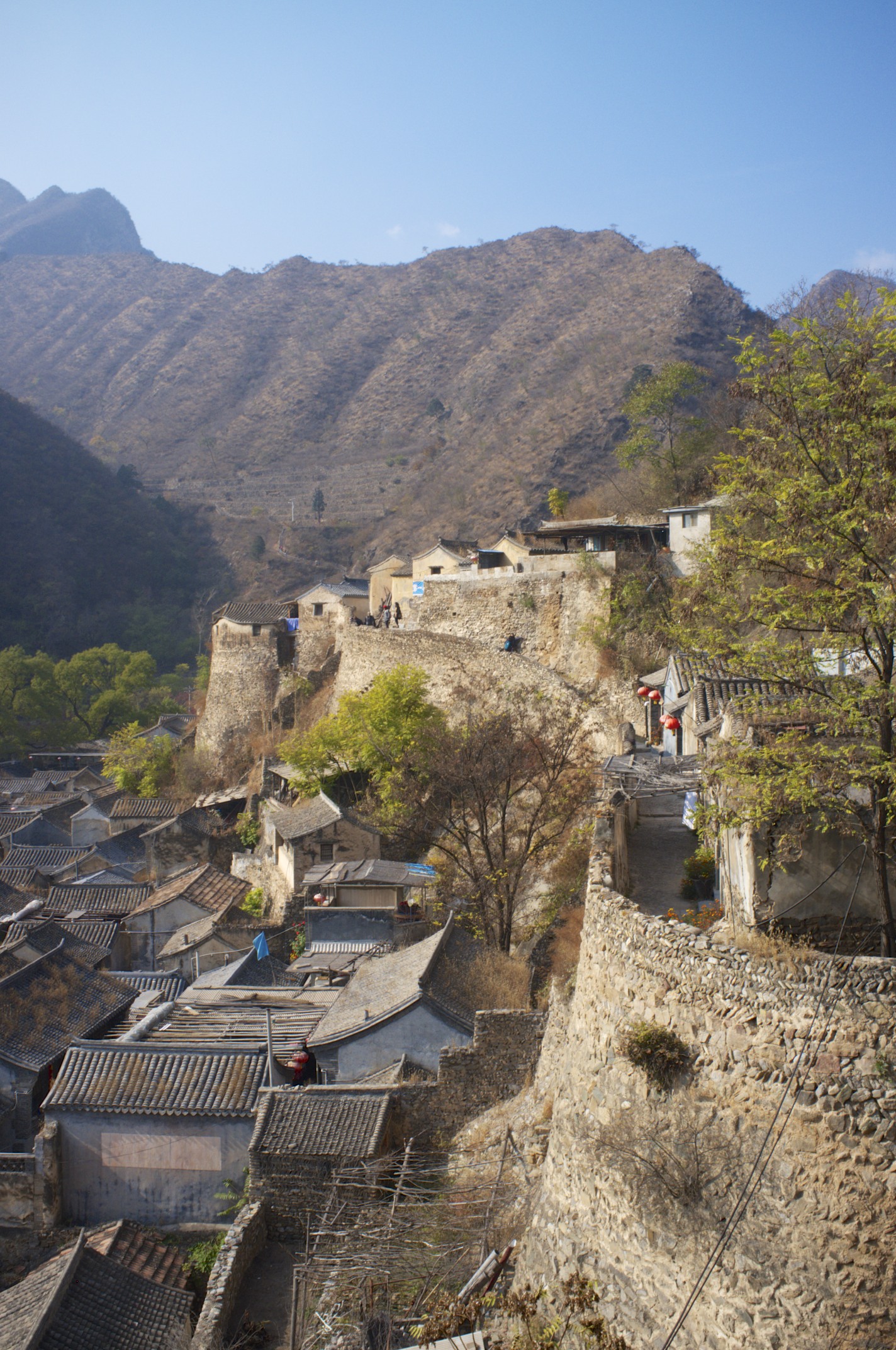
Chuandixia Village lies about  hours drive into the mountains West of Beijing. It is a small village of courtyard houses, which was located at an ancient trade route and served as a resting place for traders before they reached the Beijing markets. It was also one of the strongholds and hiding places for Mao's troops in the Anti-Japanese war. After 1949 the village fell into economical hibernation until it was "rediscovered" by photographers, painters and film crews in the 90s. It is a nice day trip into a beautiful mountain landscape. The roads are curvy and it needs a bit attention, as some drivers do risky maneuvers overtaking. But the location is easy to reach. We actually did it in a company outing, driving in a convoy of 6 vehicles. 

Chuandixia village as seen from the hill on the Southern side of the valley.

Chuandixia village as seen from the hill on the Southern side of the valley.

Trail marked on Google Earth, showing the way up to the viewpoint on the village. 

Trail marked on Google Earth, showing the way up to the viewpoint on the village. 

You may download the GPS track including the driving route by clicking here: in gpx- and tcx-format. The Southern branch of the mountain route leads to an excellent rural restaurant.

General location of the village in relation to Beijing city.

General location of the village in relation to Beijing city.

Baojin Shankou Hike

In the South-West of Beijing lies a limestone area resulting in a magnificent karst landscape, North and South of the Baojin Shankou Canyon. There was a bit of haze today, but it clear weather it must be even more beautiful. On the South there are gardens and small farms. In the past all over here food was grown. Now there are just remains left, but they are still active.


You may download here the GPS track in gpx- and tcx-format. We started a bit late today and did not explore the area to the fullest. Given the geology, there must be caves around. We met a teenager with a torch (and an acrobatic throwing knife, which impressed me a lot) who was heading for one of them. But we returned to avoid sunset before reaching clear trails again. To reach the starting point you will have to cross a bit of "Tourism with Chinese characteristics". But no worries, they will all disappear into some sort of park worshipping with their mobile phone cameras some sort of plastic Confucius. This absorbs them all, really.

Here comes position and GPS plot: 

20131027 Overview.jpg
20131027 Baojin.jpg

Yangtaishan Sunday Walk

Yangtaishan is in the North-West of Beijing, beyond the heavily tourist contaminated territories, but still close enough to the city for a sunday outing. You might still run into so-called "hiking groups", but they are noisy enough to be avoided from far. There are some "parks" around. But the term "park" means a different thing in Chinese. It is more like: "build a gate and randomly ask for money".  So, don't enter the "parks". Today's walk was about 16 km and elevation gain 1041 m. That's nearly a bit of exercise. You may download the GPS logs in tcx or gpx format by clicking on the links. The first trees are turning yellow and red these days and show us another autumn is coming. 

DSCF9627.jpg
20131020 Yangtaishan.jpg

Yun Meng Shan hike

At 7 in the morning, with humidity above 90 % and an outside temperature reading over 30 Degree Celsius in the morning and a thick layer of clouds above the city of Beijing, it was obvious there will be quite some rain coming down. But we sticked to our plan hiking up the Yun Meng Shan, which is about 85 km North of town. In this weather, every view looks like a Chinese painting. The same hike on a clear day, must have a completely different character. A good reason to come again and exactly take the same paths. It is a very nice route and you may download the GPS log here in gpx- or tcx-format.

View from Yun Meng Shan.

View from Yun Meng Shan.

20130811 Yunmeng Shan.jpg

Honey Walk

Unfortunately, I had to cancel this year's Easter egg hunt. I always thought that it would be a hide and seek game with the eggs. But now I learned that it is really called "egg hunt". Imagine the sound of horns in far, dogs running though the woods, horses, gunfire - and this time we are after eggs. Sounds a bit like Monty Phython to me. But anyway since I am in Beijing, the whole world sounds like Monty Phython. So why not that one also?  Not sure, whether it is also a comedy, that North Korea declared yesterday to be in "state of war" with South Korea. Kim Jong Un, commonly known here as "Prince Fatty", is quite a clown though. Let's hope it is just another of his jokes, and we just don't get his humor.

Yesterday I had a nice walk with friends in the mountains West of the Great Nation's Capital. Still a bit overrun, because it is too easy to reach. But it was good to be above the smog for a while. Passed bye a honey farm. The peach trees are not blossoming yet, but was told that end of May the honey here is best. Not really organic. Amazing the bees don't die in the cocktail of smog and pesticides. Must be a special breed. Unrefined honey is said to be good for the immune system. These bees at least must have a "super immune system". So, this honey must be really good. I tried. It's sweet. And yes, it is unrefined. It really is.

If you like to go along the trails, you can download the GPS track by clicking here (in GPX-Format).


DSC02701.jpg
Freguance Hill.jpg

Little journey to the West

One advantage of Beijing is, that you can easily get out. The Megcity has mountains in the North and West, which mark a sharp boundary between 1950s style coal power plants and a beautiful natural landscape. You might want to avoid tourist destinations, but still use public transport. And actually, this is quite well possible.   

For example take the subway to Ping Guo Yuan (=Apple Garden, but don't be confused when you don't see any apple tree). It is the last stop of Line 1 in the West. Then walk 300 meters further West, until you see the bus stop for line 892. The bus service starts at 7:00 o'clock in the morning and runs very frequently. Stay on the bus for about 2 hours and get off at at the Fa Cheng bus stop, at N40 00.113 E115 47.949. This is a good starting point for a hike over the mountains and the decent to Jian Yuntai (N39 56.132 E115 51.110), for the bus 929 back to Ping Guo Yan station. The whole hike will take you around 7 hours. The last bus at Jian Juntai leaves at 17:40. If you miss that, you are (!) in trouble, as this is just a remote village which has no (!) other transportation.

The route gives a beautiful outlook over the mountains. There are nearly no people up there. The villagers do not grow nuts or fruits like in other rural regions around Beijing. Still the terraces along the slopes witness an agricultural past here.   The trails are just kept open by a few hikers per year and you need a thorn proof jacket. Strictly stay on the trails, which are occasionally steep and going along fringes. Hikers here use 435.000 MHz and  437.900 MHz. 

20130302 West Beijing Hike.jpg

For your GPS you may download the trail by clicking here in gpx-format. 

20130302 West Beijing Mountain Hike.jpg